
File:Kokab Mountain al Hasakah.JPG

Size of this preview: 800 × 600 pixels. Other resolutions: 320 × 240 pixels | 640 × 480 pixels | 1,024 × 768 pixels | 1,280 × 960 pixels | 2,560 × 1,920 pixels | 3,264 × 2,448 pixels.
Original file (3,264 × 2,448 pixels, file size: 3.25 MB, MIME type: image/jpeg)
| This is a file from the Wikimedia Commons. Information from its description page there is shown below. Commons is a freely licensed media file repository. You can help. |
Summary
| Description |
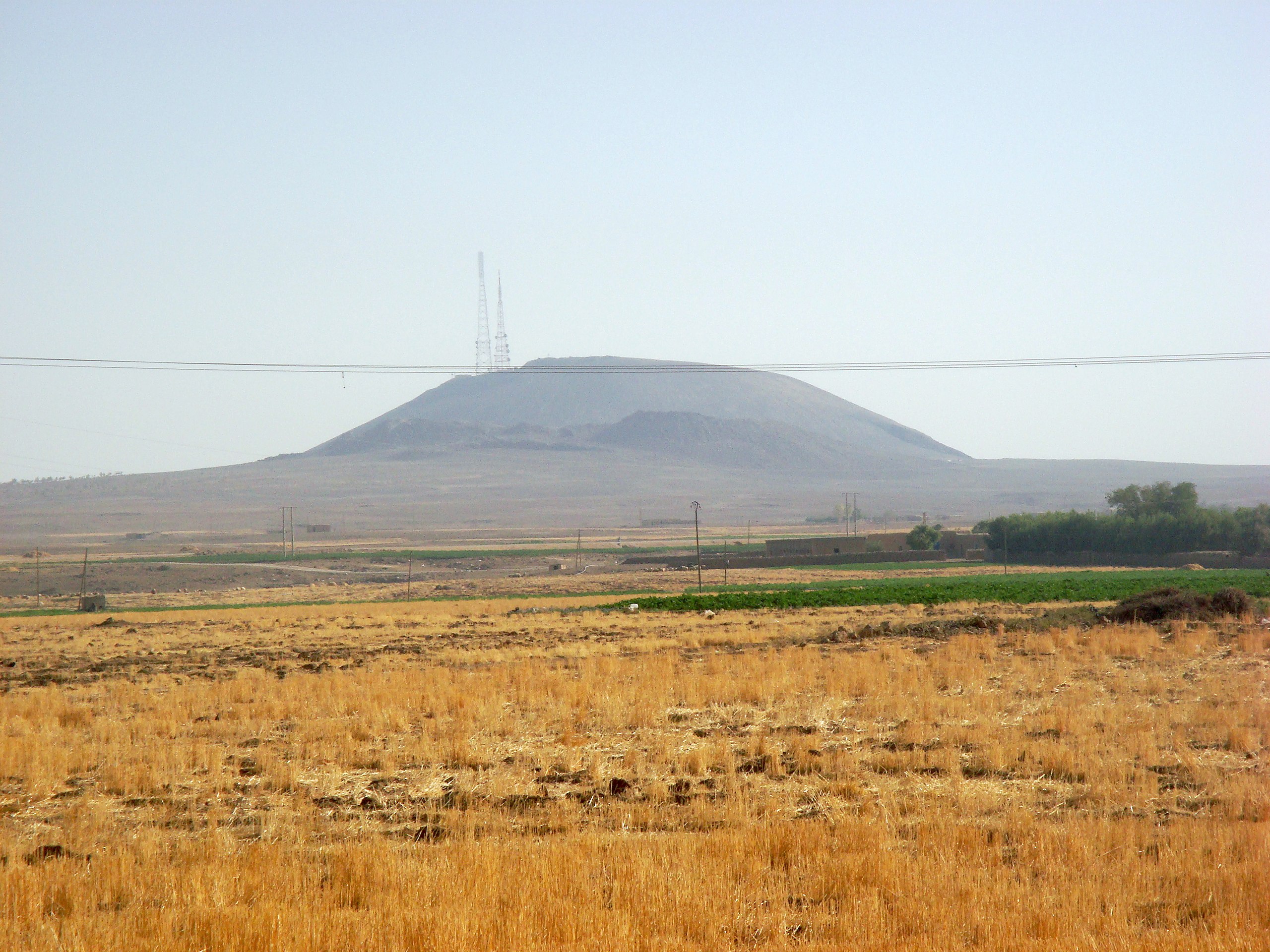
English: Kokab mountain in al hasakah, Syria
العربية: حبل كوكب , الحسكة, سورية |
| Date | |
| Source | haitham alfalah |
| Author | haitham alfalah |
| Camera location | | View this and other nearby images on: OpenStreetMap |
|---|
Licensing

|
The copyright holder of this file allows anyone to use it for any purpose, provided that the copyright holder is properly attributed. Redistribution, derivative work, commercial use, and all other use is permitted. |
|
|
File history
Click on a date/time to view the file as it appeared at that time.
| Date/Time | Thumbnail | Dimensions | User | Comment | |
|---|---|---|---|---|---|
| current | 12:48, 9 October 2019 | | 3,264 × 2,448 (3.25 MB) | Soerfm | Brightness, color |
| 07:55, 2 October 2009 |  | 3,264 × 2,448 (2.84 MB) | Halfalah | {{Information |Description={{en|1=Kokab mountain in al hasakah, Syria}} {{ar|1=حبل كوكب , الحسكة, سورية}} |Source=haitham alfalah |Author=haitham alfalah |Date="2009-8-06" |Permission= |other_versions= }} {{Location|36|32|7.5|N|40|51|31. |
File usage
The following pages on the English Wikipedia use this file (pages on other projects are not listed):
Global file usage
The following other wikis use this file:
- Usage on ar.wikipedia.org
- Usage on arz.wikipedia.org
- Usage on de.wikipedia.org
- Usage on es.wikipedia.org
- Usage on fa.wikipedia.org
- Usage on fr.wikipedia.org
- Usage on hyw.wikipedia.org
- Usage on it.wikipedia.org
- Usage on ko.wikipedia.org
- Usage on lld.wikipedia.org
- Usage on nl.wikipedia.org
- Usage on nn.wikipedia.org
- Usage on pnb.wikipedia.org
- Usage on pt.wikipedia.org
- Usage on sco.wikipedia.org
- Usage on tr.wikipedia.org
- Usage on ur.wikipedia.org
- Usage on www.wikidata.org
- Usage on zh.wikipedia.org