
File:Ireland DEDs.png
Size of this preview: 463 × 599 pixels. Other resolutions: 185 × 240 pixels | 371 × 480 pixels | 593 × 768 pixels | 791 × 1,024 pixels | 1,632 × 2,112 pixels.
Original file (1,632 × 2,112 pixels, file size: 114 KB, MIME type: image/png)
| This is a file from the Wikimedia Commons. Information from its description page there is shown below. Commons is a freely licensed media file repository. You can help. |
Summary
| Description |
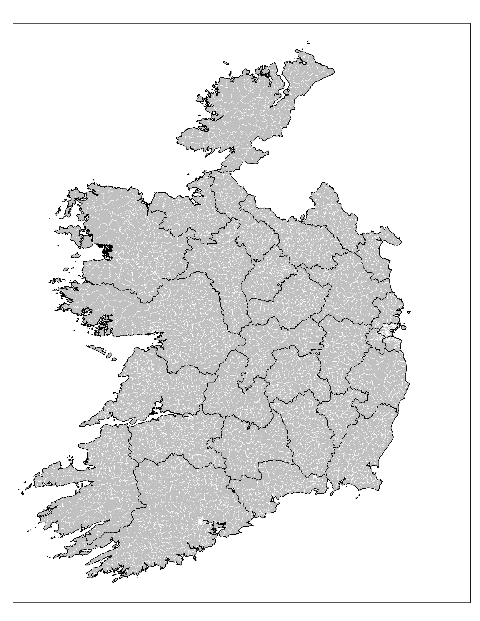
English: Map of the district electoral divisions (DEDs) of the Republic of Ireland. |
| Date | |
| Source | Own work |
| Author | Rarelibra |
Licensing
| I, the copyright holder of this work, release this work into the public domain. This applies worldwide. In some countries this may not be legally possible; if so: I grant anyone the right to use this work for any purpose, without any conditions, unless such conditions are required by law. |
File history
Click on a date/time to view the file as it appeared at that time.
| Date/Time | Thumbnail | Dimensions | User | Comment | |
|---|---|---|---|---|---|
| current | 13:48, 5 July 2015 | | 1,632 × 2,112 (114 KB) | Cmdrjameson | Compressed with pngout. Reduced by 114kB (50% decrease). |
| 15:40, 23 September 2008 |  | 1,632 × 2,112 (229 KB) | Rarelibra | {{Information |Description={{en|1=Map of the district electoral divisions (DEDs) of the Republic of Ireland.}} |Source=Own work by uploader |Author=Rarelibra |Date=9/23/08 |Permission= |other_versions= }} <!--{{ImageUpload|full}}--> [[ |
File usage
The following pages on the English Wikipedia use this file (pages on other projects are not listed):
Global file usage
The following other wikis use this file:
- Usage on fr.wikipedia.org