
Sangha, Mali
| Part of a series on |
| Traditional African religions |
|---|
 |
Sangha | |
|---|---|
 Sangha Location in Mali | |
| Coordinates: 14°27′54″N 3°18′22″W / 14.46500°N 3.30611°W | |
| Country | |
| Region | Mopti Region |
| Cercle | Bandiagara Cercle |
| Population (2009 census)[1] | |
| • Total | 32,513 |
| Time zone | UTC+0 (GMT) |
Sangha (sometimes spelled Sanga) is a rural commune in the Cercle of Bandigara in the Mopti Region of Mali. The commune contains around 44 small villages and in the 2009 census had a population of 32,513. The administrative centre (chef-lieu) is the village of Sangha Ogol Leye, one of a cluster of at least 10 small villages at the top of the Bandiagara Escarpment.
The commune is known as a centre for Dogon traditional religion with many temples and shrines, and as a base for visitors to the local Dogon villages. Toro So is spoken in the village of Sangha.[2] Most of the ethnographic work by Marcel Griaule was carried out among the Dogon of Sangha.
Gallery[edit]
-
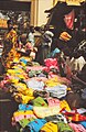 Multicoloured clothing at Sangha market, 1992
 -
 Women with children and cassava roots at Sangha market, 1992
 -
 A toguna at Sangha, 2006
 -
 View of Sangha, 2007
 -
 Multistoried masks during a dance in Sangha, 2007
 -
 Door of the house of the Hogon in Sangha, Ogol quarter, 2007


See also[edit]
References[edit]
- ^ Resultats Provisoires RGPH 2009 (Région de Mopti) (PDF) (in French), République de Mali: Institut National de la Statistique.
- ^ Moran, Steven; Forkel, Robert; Heath, Jeffrey, eds. (2016). "Sangha". dogonlanguages.org. Retrieved 2021-02-22.
External links[edit]
- Plan de Sécurité Alimentaire Commune Rurale de Sangha 2006-2010 (PDF) (in French), Commissariat à la Sécurité Alimentaire, République du Mali, USAID-Mali, 2006.
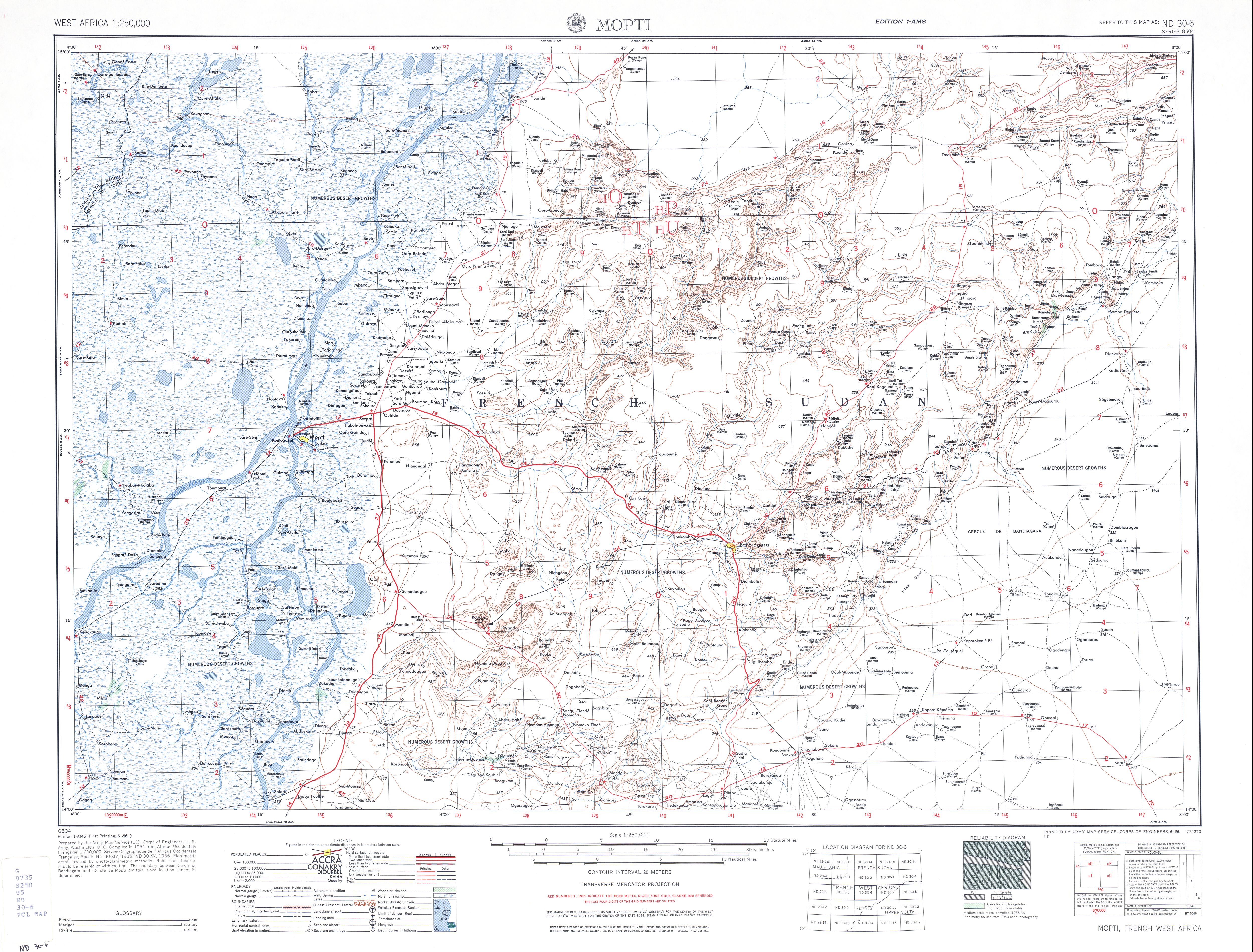
- Map of Mopti and Dogon country, ND 30-6, 1:250,000, University of Texas, US Army, 1954.
![]() Media related to Sangha at Wikimedia Commons
Media related to Sangha at Wikimedia Commons

Dogon topics | |||||
|---|---|---|---|---|---|
| People |
|  | |||
| Religion |
| ||||
| History | |||||
| Demographic |
| ||||
| Culture |
| ||||
This Mopti Region location article is a stub. You can help Wikipedia by expanding it. |